Roads & Kingdoms, August 4, 2015
I’m in a kayak, alone and three months pregnant, paddling through jade water, trying to reach an unnamed island off the shore of Big Pine Key, Florida. The mangroves that have waded offshore—tangles of long grey legs topped with a mess of bright green leaves—point me towards a strip of beige sand. A smattering of white clouds, underlined with a quick brushstroke of grey, have been tossed against the blue sky.
Picturesque, quiet, meditative, it seems like the type of place where nothing could go wrong. Still, something about the scene strikes me as absurd—God forbid, something happens, what do I do? Call for help and say that I’m… where? In the water, headed towards a place with no name?
I push ahead, trusting not in God but Eric.
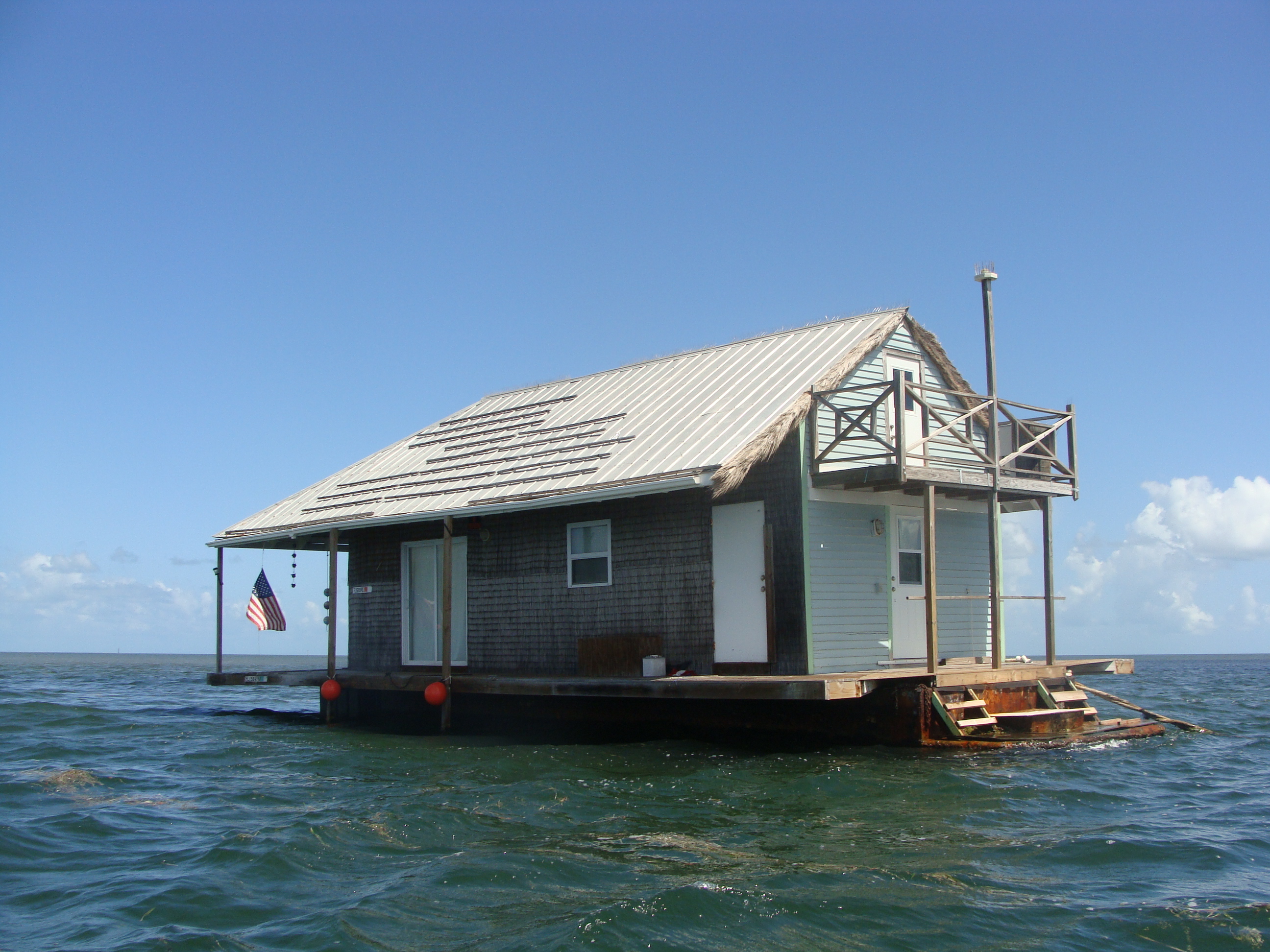
He’s the manager of the Barnacle Bed & Breakfast and, when I called a week ago, he assured me this trip was do-able. I’d spent days pouring over an atlas, comparing it to Google Earth, to find Florida’s last unnamed islands. Though there’s a surprising number in Florida’s waters, they seemed concentrated in the Lower Keys.
“Unnamed islands?” Eric said when I told him the purpose of my trip. “Hell, we got us some of those right out here.”
A native of Monroe, Louisiana, Eric’s got the accent to prove it. I imagined him gesturing to the Atlantic, which waits off of the Barnacle’s small, private beach.
“Shark Island, Bird Island, and Picnic Island,” he went on. “That’s what locals call ‘em, but they ain’t marked on no map.”
He put me on hold as he double-checked a nautical chart.
I wouldn’t be surprised if these were in a place like the Philippines, an archipelago of thousands of islands and poor infrastructure. But in the United States? In 2015? It’s hard to believe that things could still be in flux—that places could be without names, that an atlas says one thing, Google Earth another, a local a third.
But Eric came back and confirmed, “Yeah, they ain’t got no real names,” adding that they’re “close” to the Barnacle.
“You in good shape?” he asked. “Or, reasonable shape, even?”
“Yeah. I’m pregnant, but I’m a runner.”
“We got us some kayaks here. You can borrow one and paddle on out to the islands.”
As he lowered the vessel into the water that morning, Eric assured me that there was no way I could get lost.
But, “wait,” he said, just before I pushed off. I turned around. Eric stood on the dock in the navy blue basketball shorts, white tank top, and flip flops.
Everything looks the same out there, Eric warned. I could get disoriented. If I ended up in the wrong canal, I should pull my kayak ashore and ask anyone around for help.
“Everyone knows us. Worst case, if it’s too far for you to walk back, they’ll call and I’ll come pick you up.”
“Alright,” I looked ahead, towards the end of the canal. “Have a good day.”
Eric didn’t respond. I faced him and noticed his look of hesitation.
“You don’t really need to worry about this,” he began, “you’d really have to be tryin’ to get there…” But, whatever I do, I shouldn’t take a left and then another left because that would put me in the Atlantic, where there’d be nothing between me and Cuba but 90 miles of open water.
Now, as I paddle towards the channel Eric told me to avoid, I struggle to recall the details of our conversation. Was it left? Or am I not supposed to go right?